Log in
All resources
Create a design
40,080 Free Images of 1890 Maps
maps in the library of congress
maps of the west-indische compagnie
maps by joseph hutchins colton
maps made in the 17th century
maps by pieter schenk (i)
details of old maps
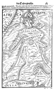
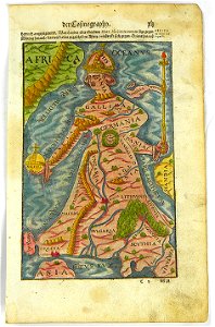
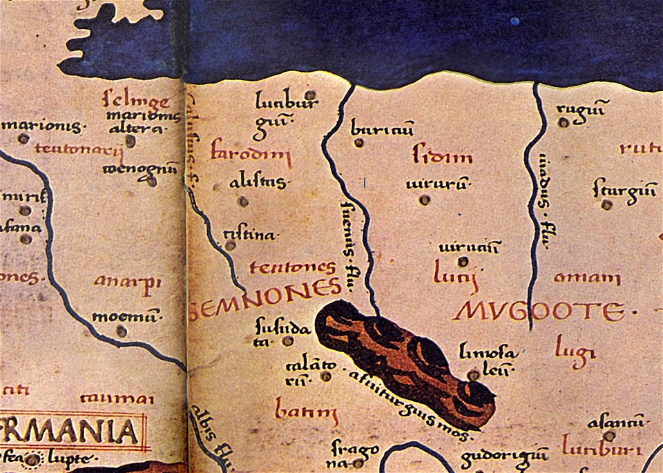
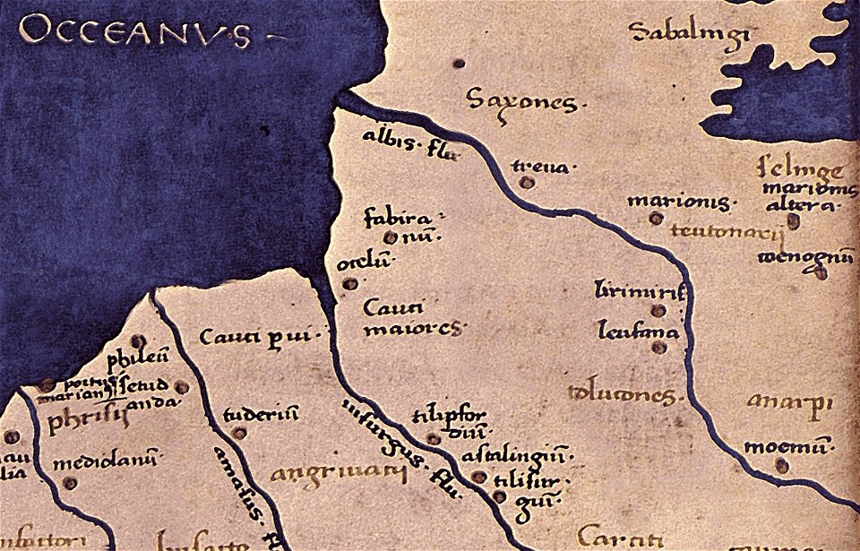
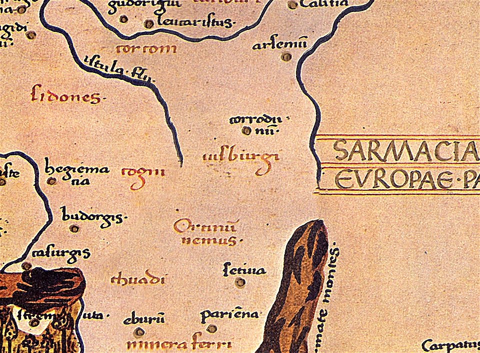
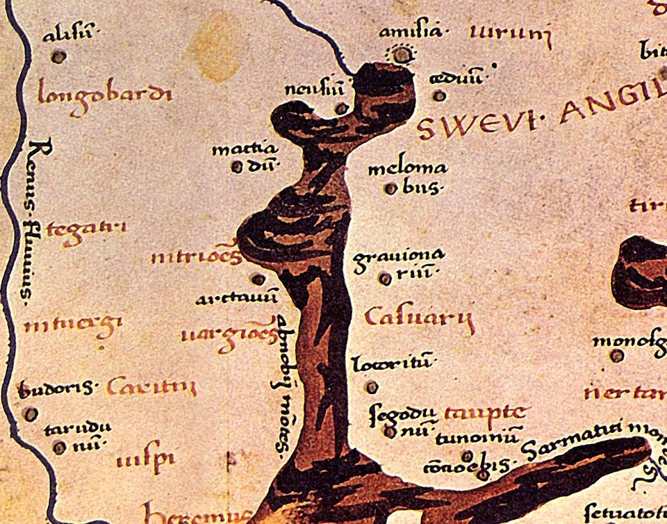
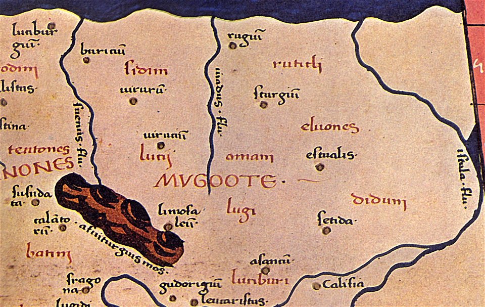
maps of germania magna
donnus nicolaus germanus
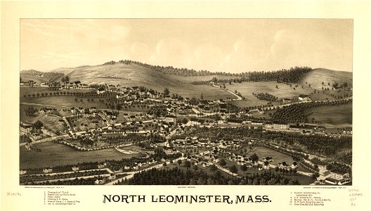
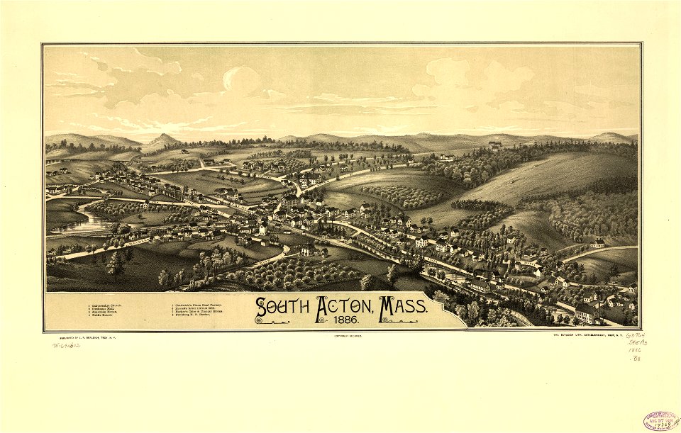
town maps by l. r. burleigh
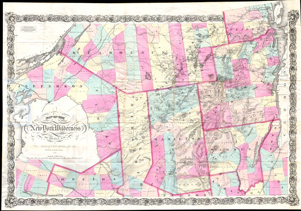
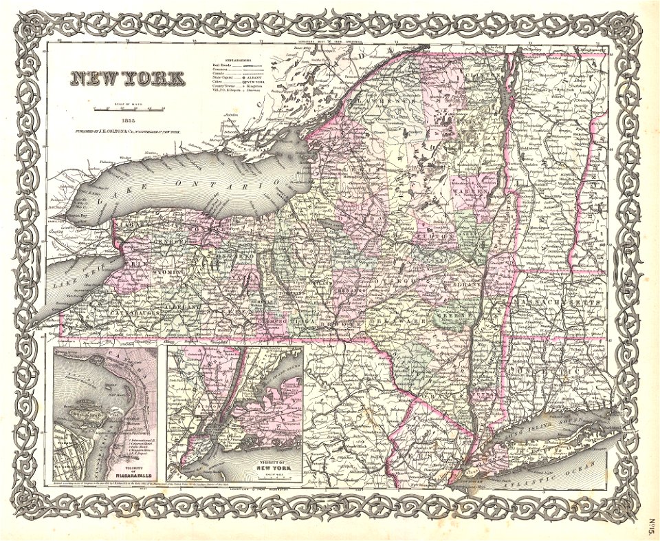
new york
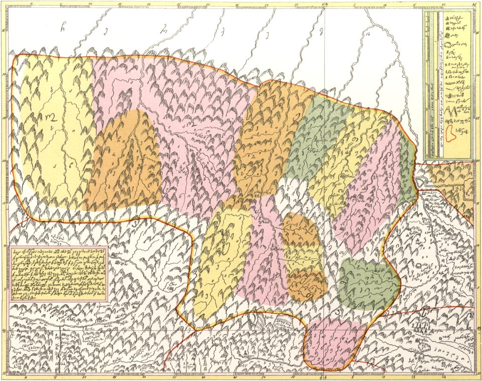
description of kingdom of georgia
its habits and canons
maps in the library of congress
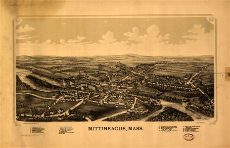
massachusetts
maps in the library of congress
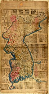
old maps of korea
maps in the library of congress
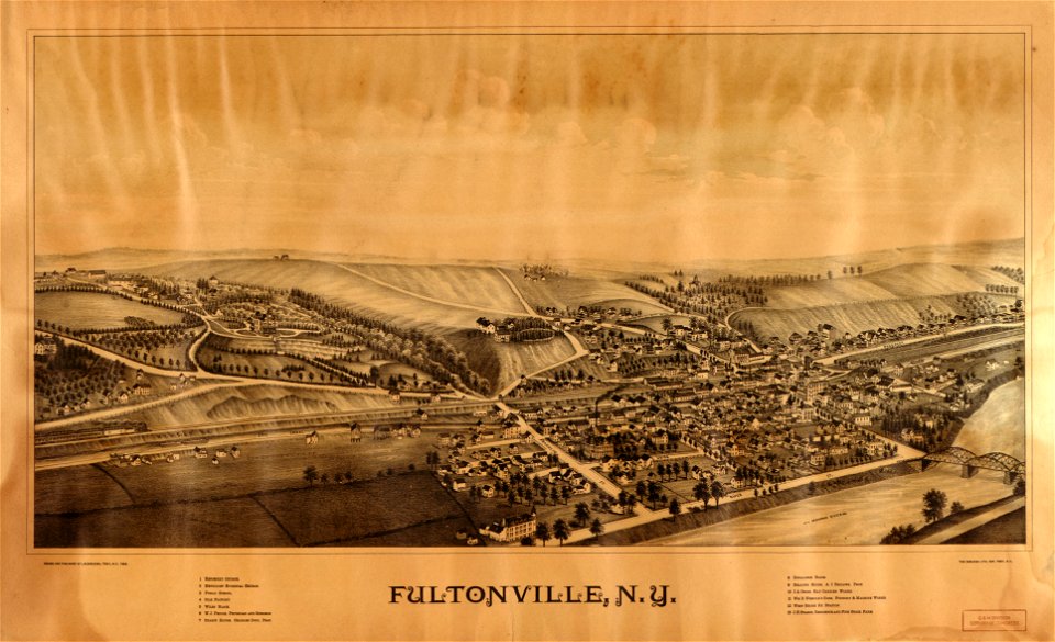
new york
latin-language maps
1628 maps
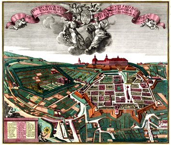
schloss friedenstein (gotha)
18th-century engravings
old maps of massachusetts
massachusetts
maps of the first opium war
old maps of nanjing
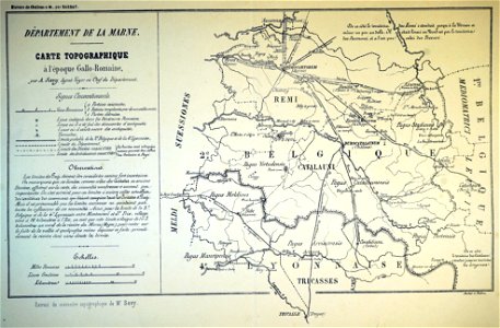
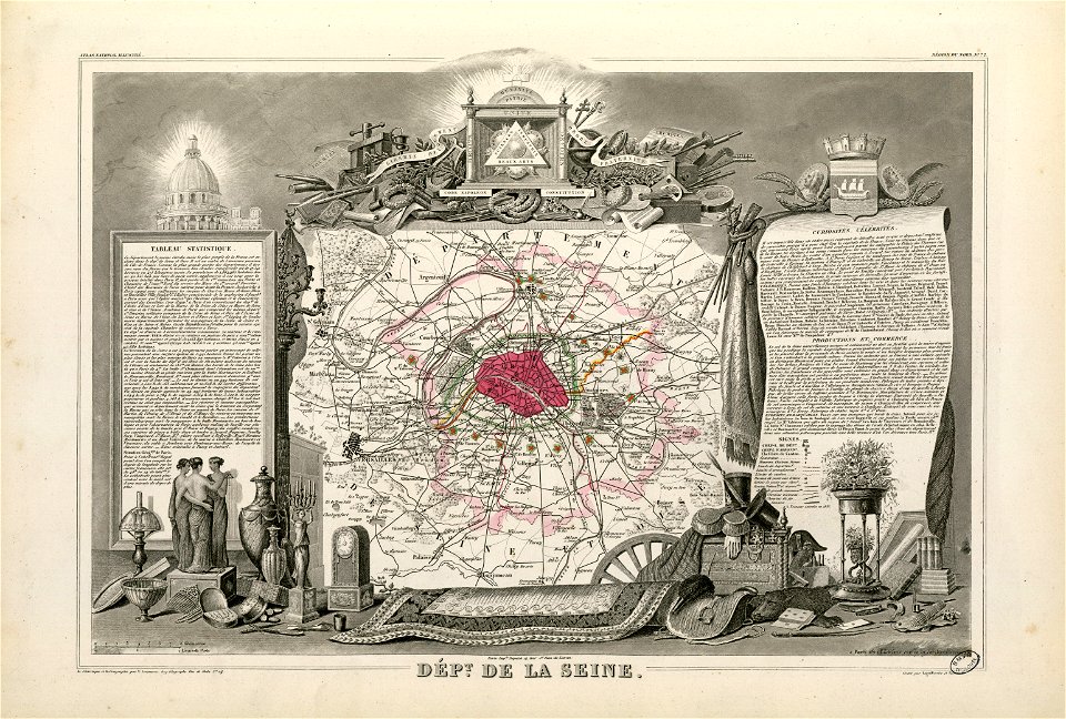
bibliothèque municipale de reims
maps relating to celts
illustrations of cosmographia (münster)
latin-language maps
new york
rome
maps by willem and johannes blaeu
old maps of rotterdam
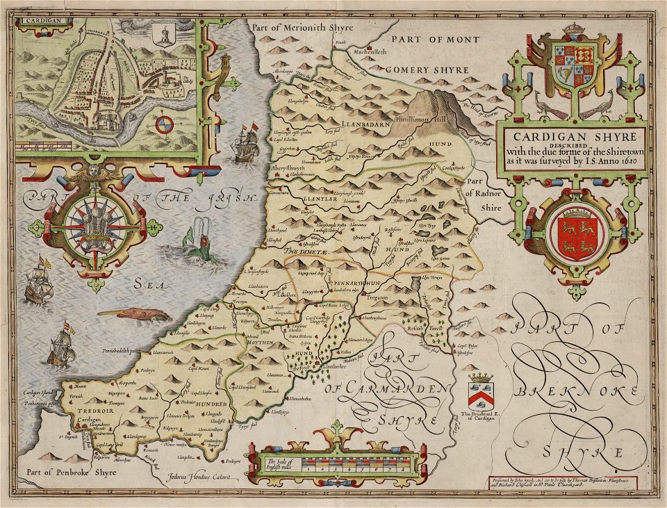
maps in the national library of wales
old county maps of cardiganshire
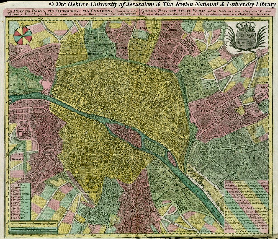
maps by matthäus seutter
copyfraud
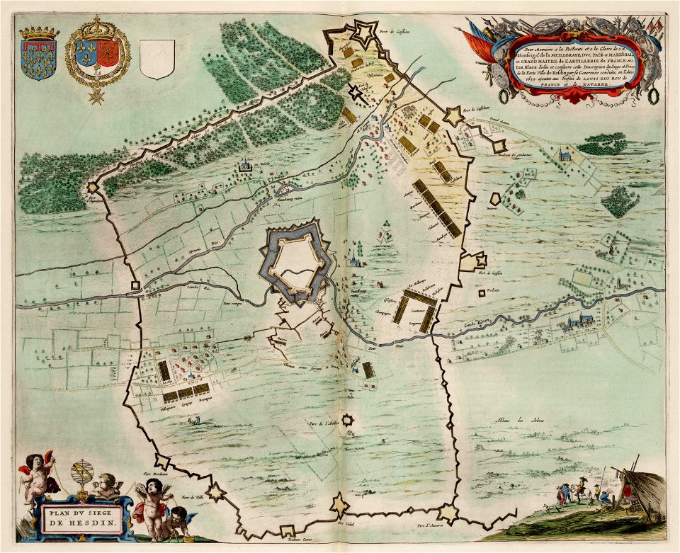
maps of hesdin city walls
circumvallation
maps in the library of congress
massachusetts
volume 7 of le tour du monde
1860s maps of palestine
party per bend or and azure
coats of arms on maps
nicolaes visscher ii
abraham goos
old maps of manhattan
new york city
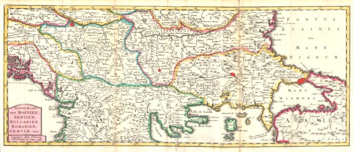
maps of the ottoman empire in the 19th century
maps by joseph hutchins colton
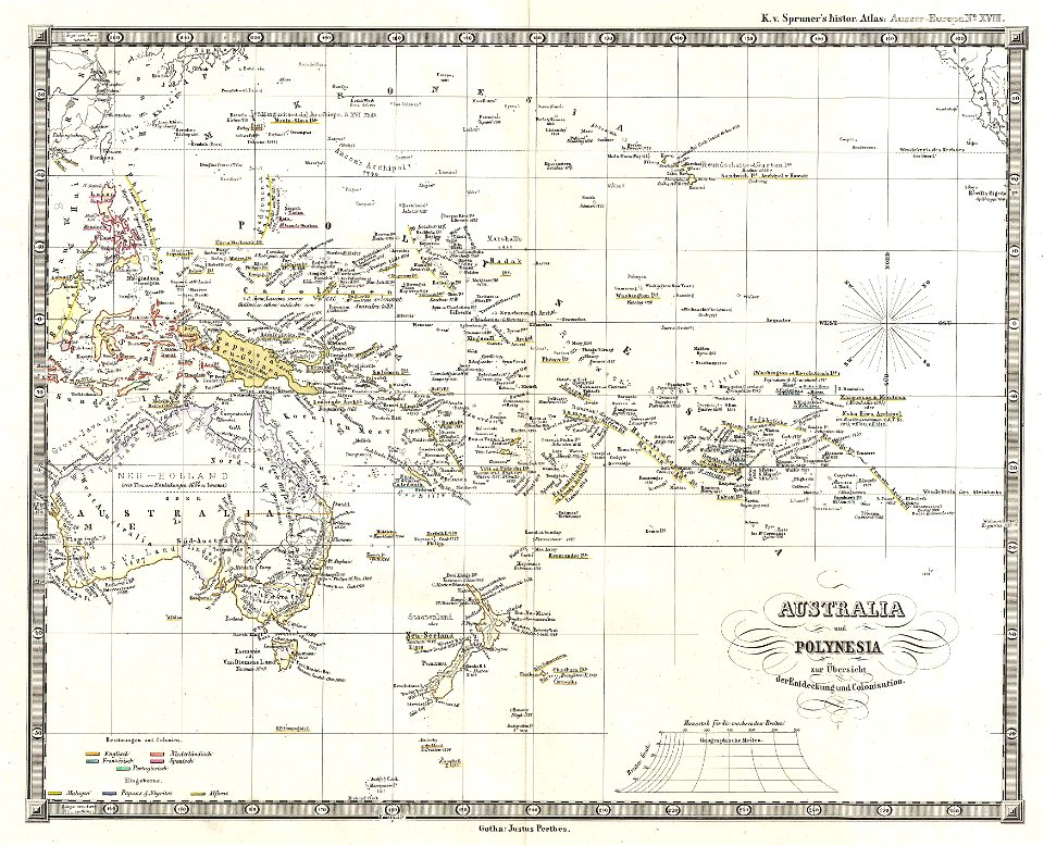
old maps of australia
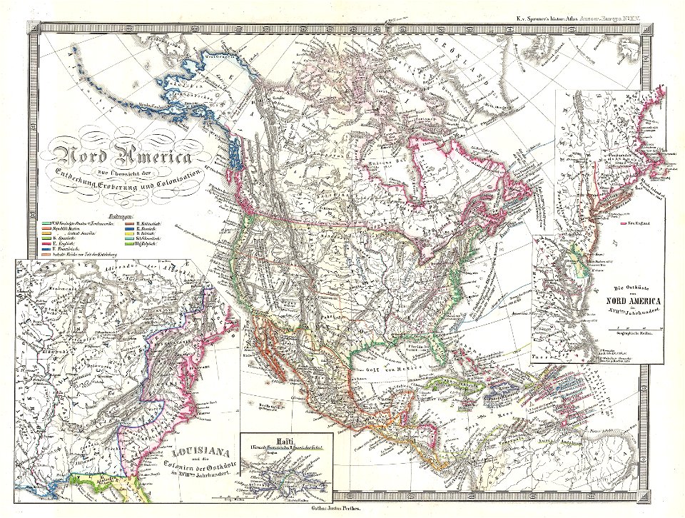
karl spruner von merz
maps with cartouches
atlas van der hagen
maps in the rijksmuseum amsterdam
sloten (amsterdam)
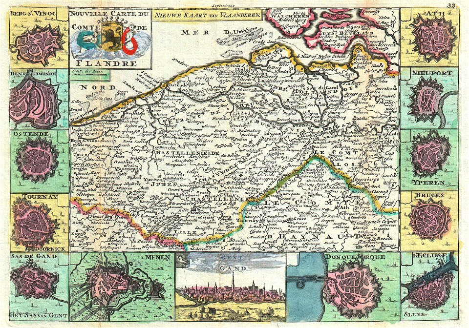
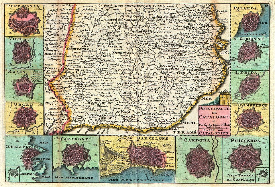
maps of the county of flanders
johannes ratelband
french-language maps
johannes ratelband
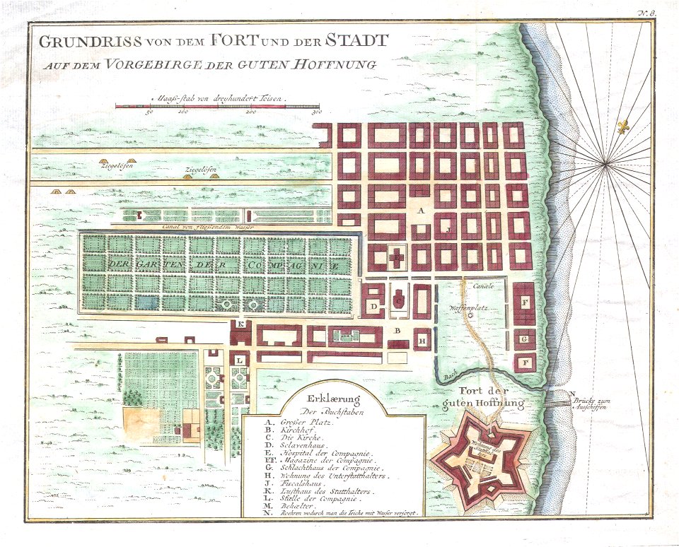
history of cape town
german-language maps
old maps of the dutch east india company
1757 maps
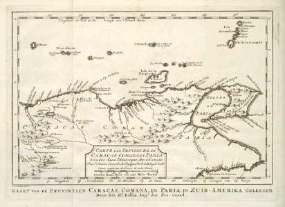
kingdom of serbia (1718–1739)
maps of the sea of marmara
frédéric-auguste laguillermie
molière
description of kingdom of georgia
its habits and canons
maps made in the 17th century
maps by nicolas sanson
maps made in the 17th century
maps by nicolas sanson
maps in the library of congress
new york
maps made in the 17th century
1700 maps of lithuania
1700s maps of belgium
old maps of lorraine
old weather and climate maps
1880 maps
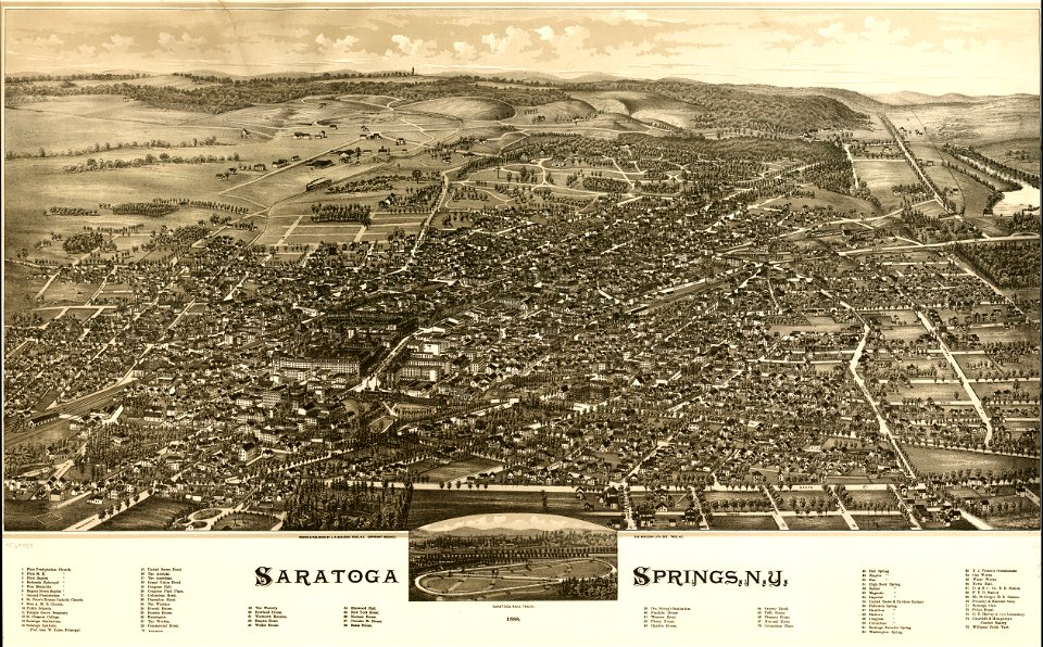
saratoga springs
new york
maps made in the 18th century
old maps of europe
maps made in the 17th century
old maps of trentino
maps made in the 17th century
maps by johannes janssonius
itinerario (jan huygen van linschoten)
latin-language maps
pictorial maps
barbados
maps with cartouches
maps of reims
16th-century maps of the black sea
maps in the library of congress
maps made in the 17th century
gerard valck
maps made in the 17th century
gerard valck
old maps of georgia (u.s. state)
maps in the library of congress
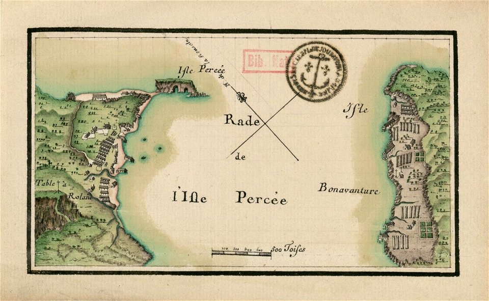
île bonaventure
percé
dutch-language maps
atlas van loon
braun & hogenberg
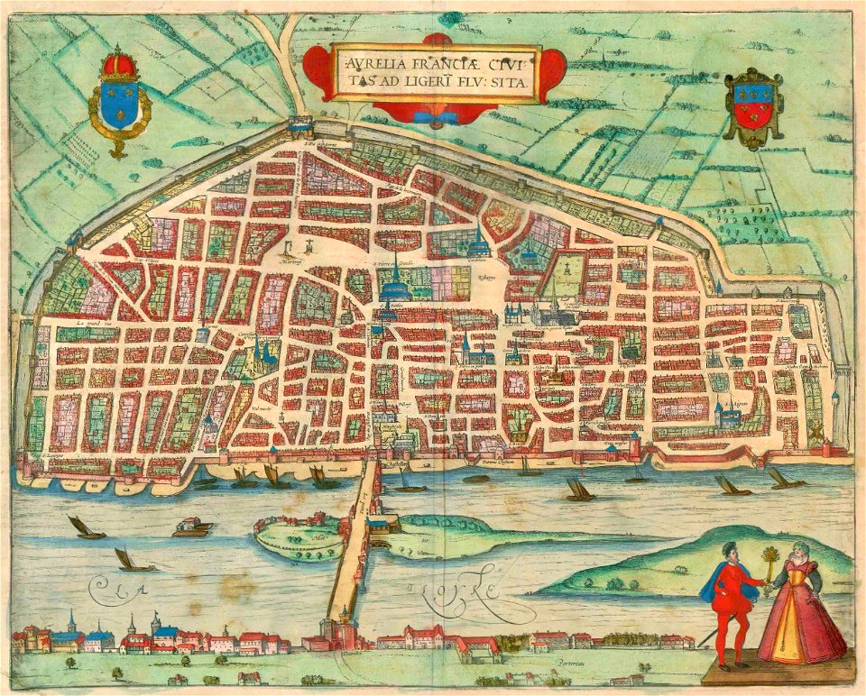
orléans
maps and topographical views by joris hoefnagel
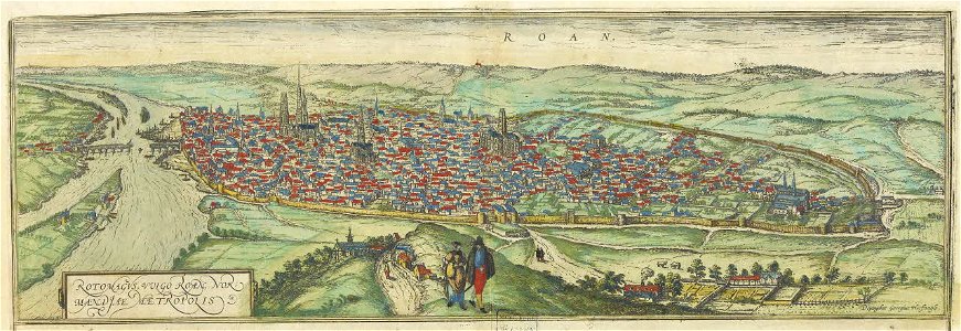
old maps of rouen
maps of germania magna
details of old maps
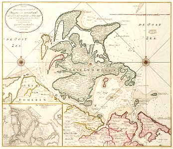
old maps of mecklenburg-vorpommern
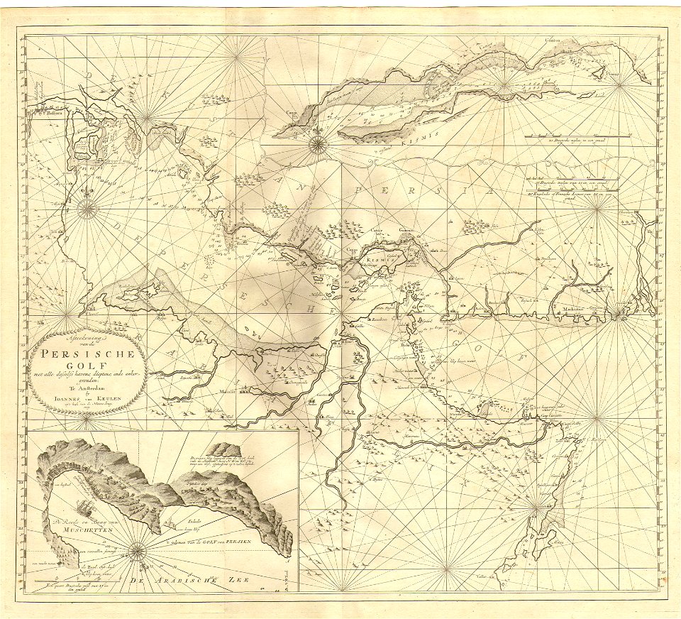
gerard van keulen
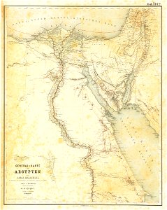
lepsius-projekt - maps
egypt in the 1850s
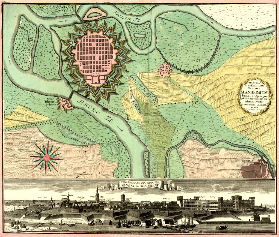
johann baptist homann
festung mannheim
maps of germania magna
details of old maps
johannes van keulen
1753 maps
maps of germania magna
details of old maps
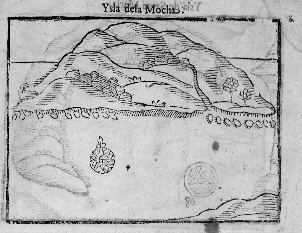
old maps of chile
alonso de ovalle
itinerarium hierosolymitanum et syriacum..., 1619
ships on maps
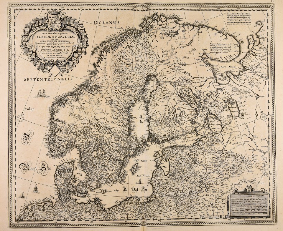
maps by gustav adolf von varendorf
maps of hamburg-billstedt
maps of the canton of basel-landschaft
old maps of switzerland
maps of germania magna
details of old maps
maps by willem and johannes blaeu
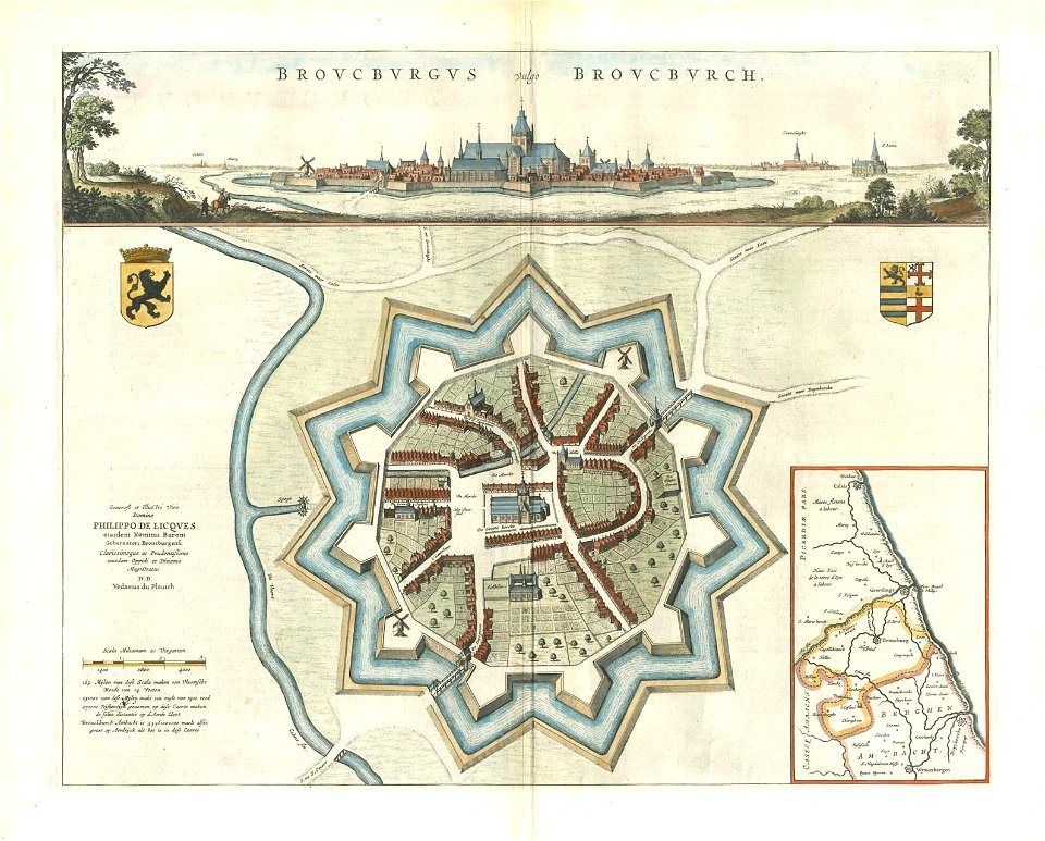
bourbourg
maps of germania magna
details of old maps
maps from turris babel
by athanasius kircher
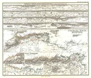
19th-century maps of africa
1865 maps
karl spruner von merz
1865 maps
maps by joseph hutchins colton
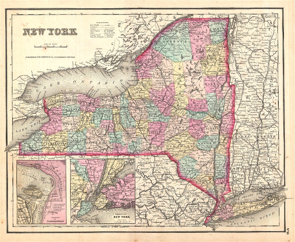
1867 maps of new york (state)
maps by joseph hutchins colton
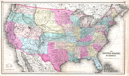
1855 maps of the united states
maps by joseph hutchins colton
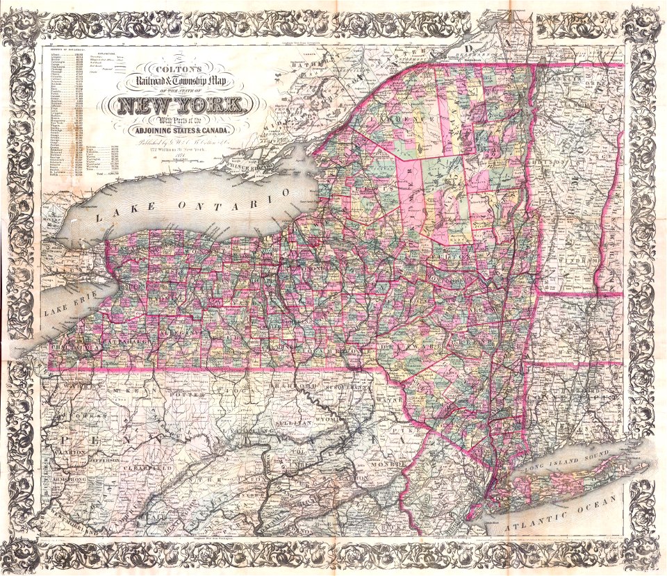
1855 maps of new york (state)
karl spruner von merz
1855 maps
maps by joseph hutchins colton
1857 maps of new york (state)
maps by joseph hutchins colton
1857 maps of the united states
maps by joseph hutchins colton
1876 maps of new york (state)
maps in the library of congress
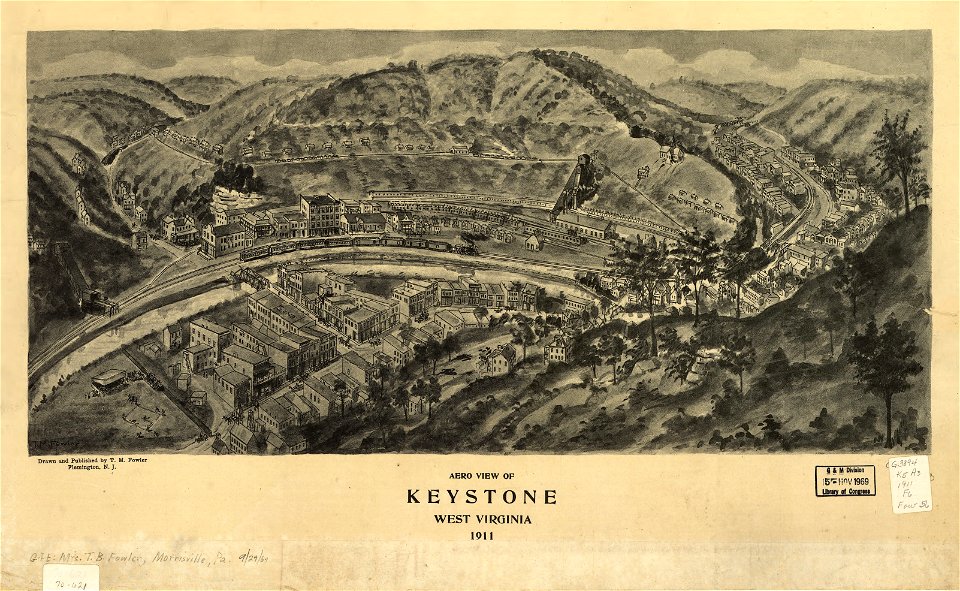
1911 maps of west virginia
1740s maps of belgium
southern netherlands
maps by frederick de wit
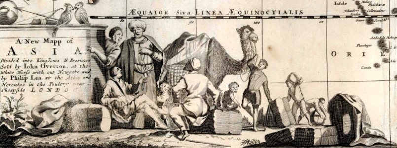
1680s maps of asia
maps of germania magna
details of old maps
maps in the library of congress
1888 maps of new hampshire
maps in the library of congress
1888 maps of new hampshire
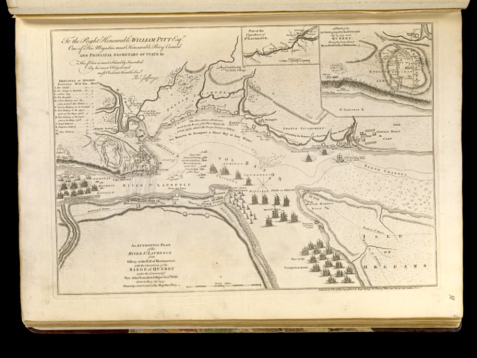
maps of the battle of the plains of abraham
1768 maps
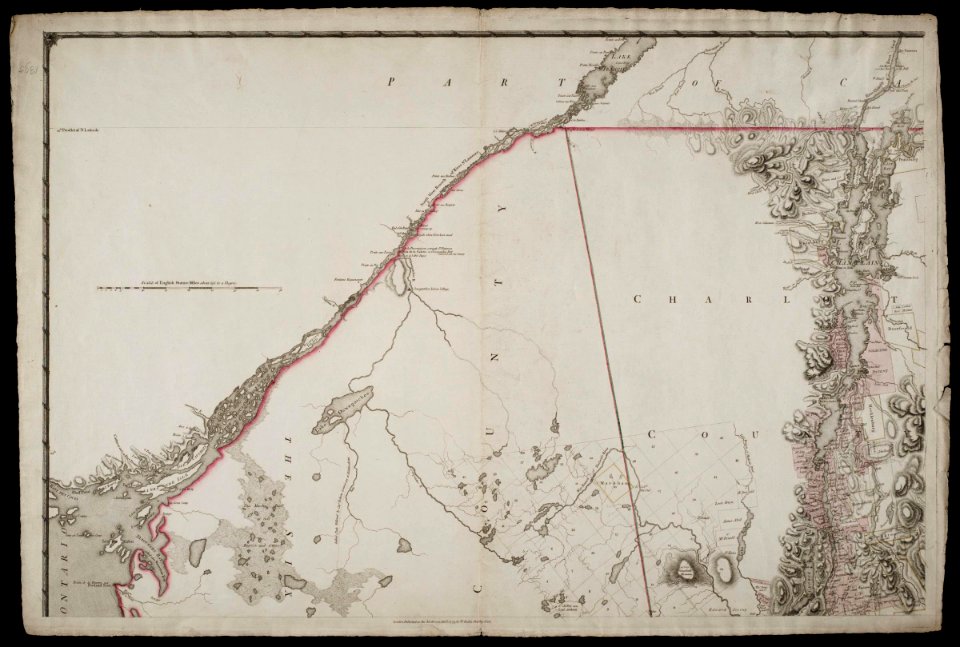
maps by claude joseph sauthier
old maps of new york (state)
maps by claude joseph sauthier
old maps of new york (state)
maps by claude joseph sauthier
old maps of new york (state)
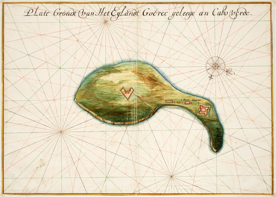
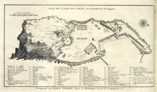
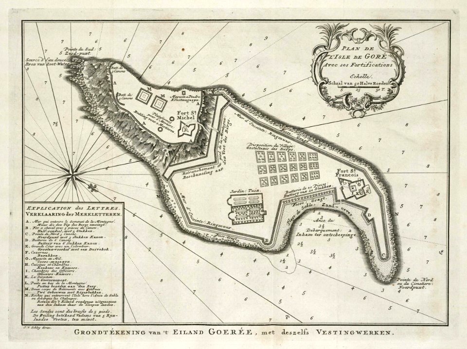
old maps of gorée
1665
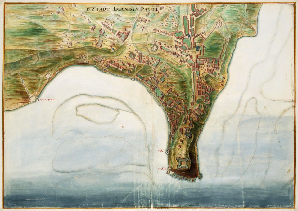
maps of the west-indische compagnie
1665
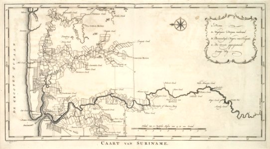
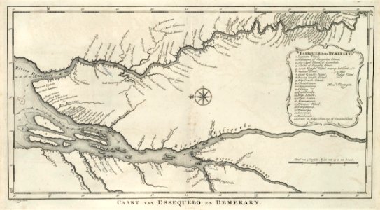
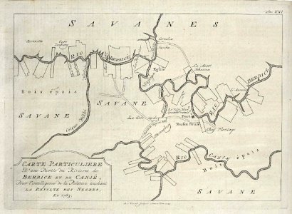
old maps of suriname
1770
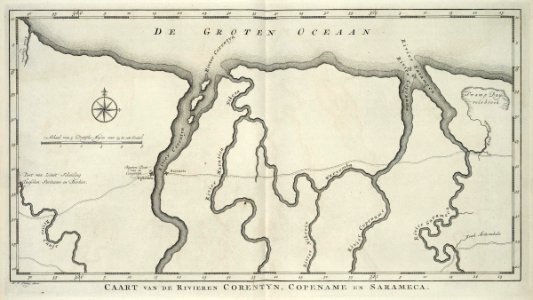
old maps of suriname
1770
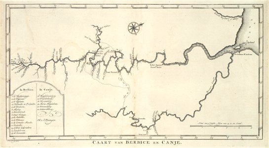
maps of the west-indische compagnie
1770
maps of the west-indische compagnie
1770
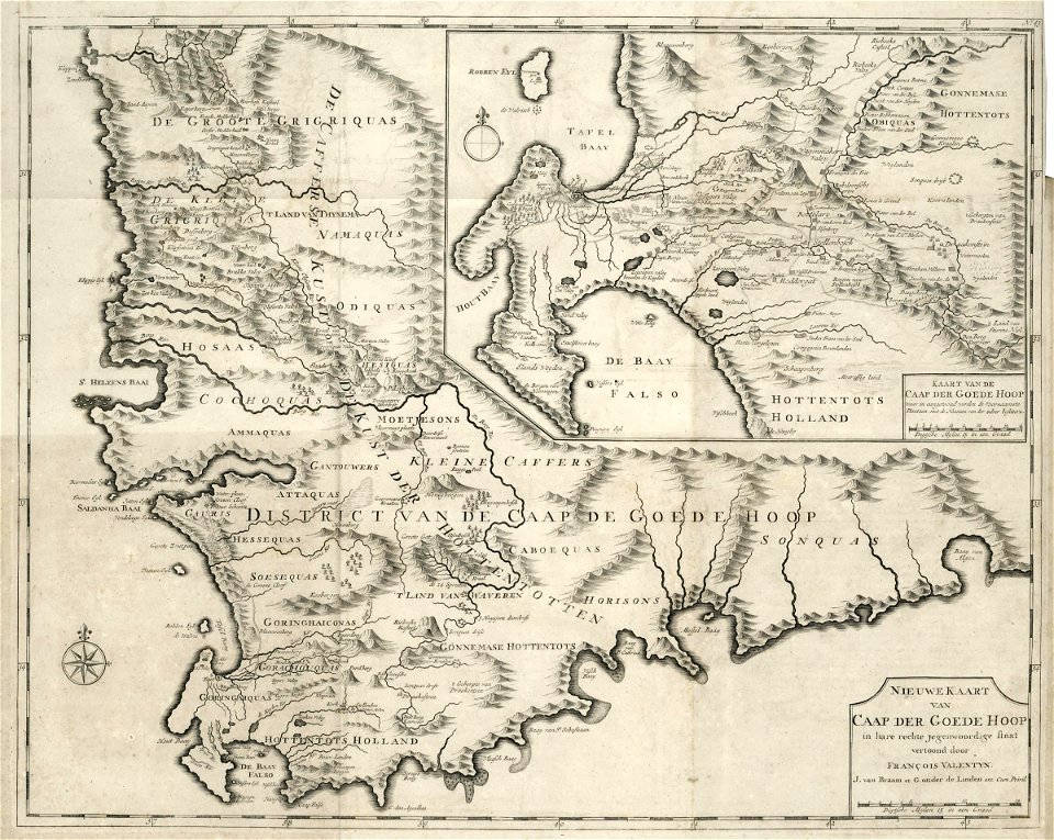
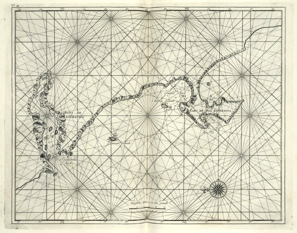
maps of the dutch east india company - south africa
1726 maps
maps of the dutch east india company - south africa
1726 maps
maps of the west-indische compagnie
old maps of gorée
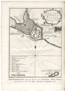
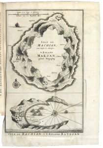
old maps of the dutch east india company - malaysia
1753 maps
maps of the west-indische compagnie
1773
maps of the west-indische compagnie
old maps of gorée
maps of the west-indische compagnie
1768 maps
maps of the dutch east india company - indonesia
1753 maps
5101 - 5200 of 40,080
Next page
/ 401